

Methods
As we described on the study Introduction page, we are conducting a multilevel study to determine the relationships across county agricultural production, the environment, population health, and healthy equity.
Here we offer some more detail as to the methods underlying each level of the study.
County agricultural index
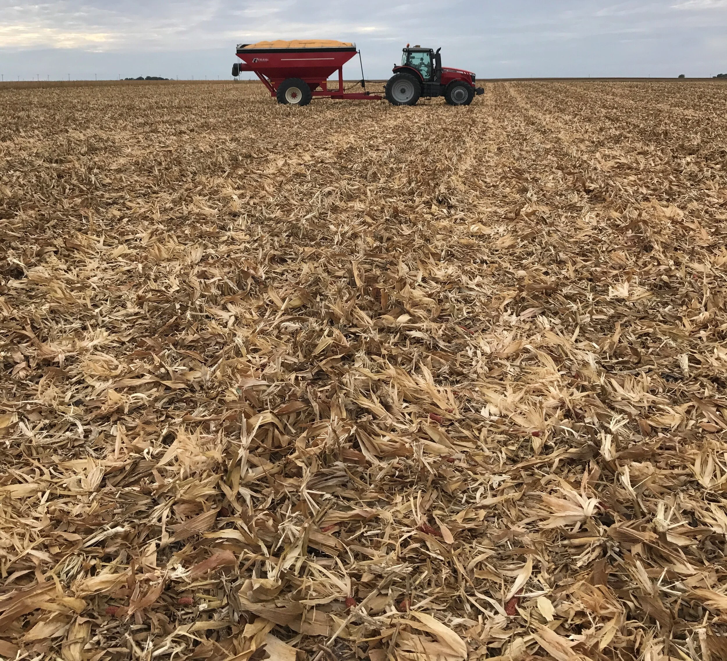
To get a picture of agricultural production in the twelve counties we’ll be visiting for interviews as well as across the 1055 counties of the Midwest, we developed a numeric index using parameters available to the public from the USDA National Agricultural Statistical Service’s 2017 Census of Agriculture.
The objective was to create a numeric value for each of the counties in the six-state region that would represent where on a continuum of how regenerative or conventional that county’s agricultural production is. The specific formula will be explained in detail in upon completion of the project.
The characteristics included the following farm management practices as reported by the USDA per county:
Intensive Grazing – Using pasture rather than confinement for animal grazing; land is used for either rotational grazing or management-intensive grazing
Silvopasture – Allowing animals to graze through practiced alley cropping, silvopasture, forest farming, or riparian forest buffers or windbreaks
Conservation easements – Farms that have land set aside permanently in conservation easements
Livestock diversity- what types and number of animals are grown, including cattle, hogs/pigs; sheep/lambs; goats; and poultry (meat, egg birds and turkeys)
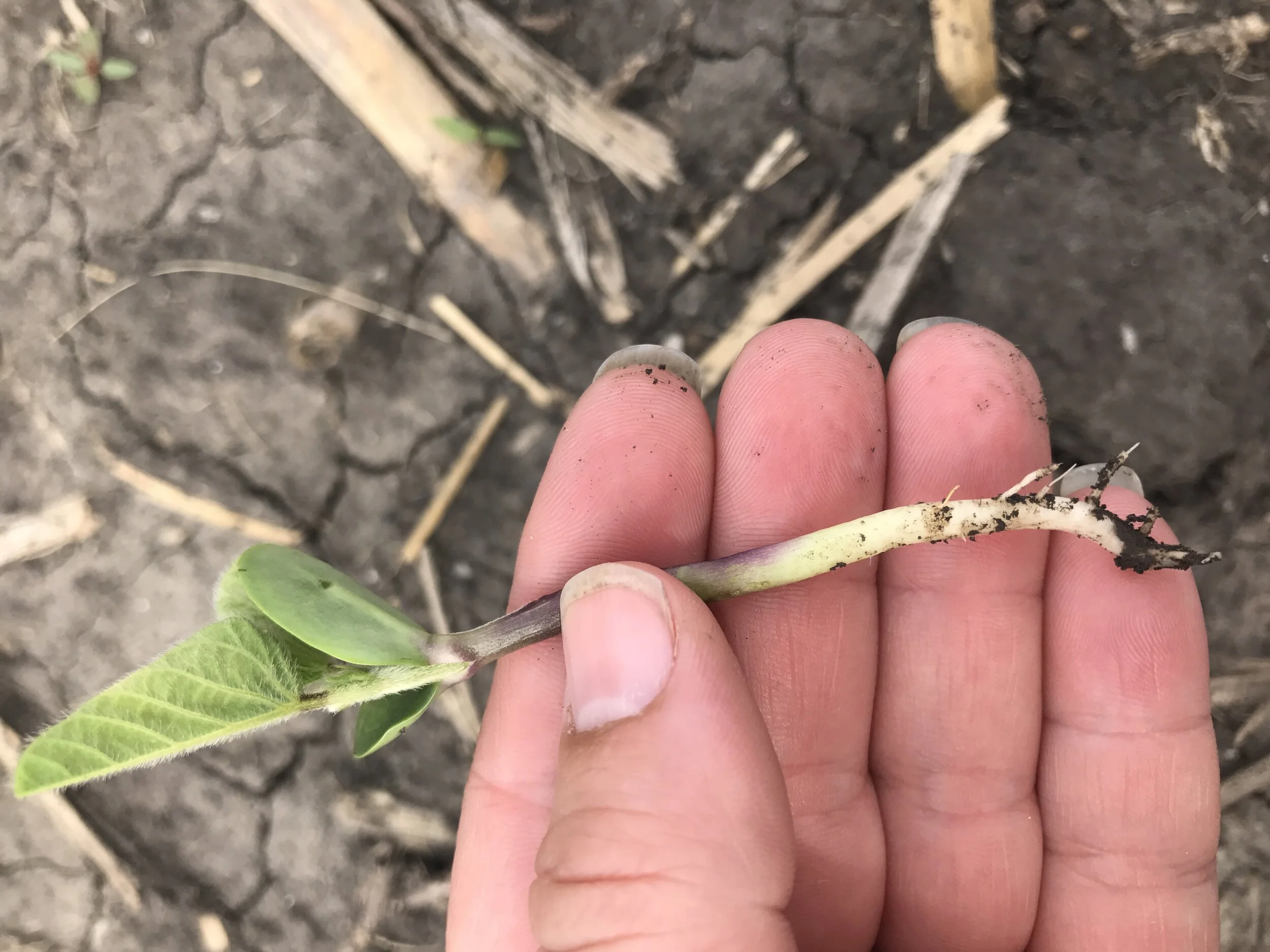
Crop diversity – what types of crops are grown, including field crops (corn for grain, oats for grain, soybean for beans, wheat); field seeds, grass seeds, forage, hay, and silage forage - hay and haylage, grass silage and greenchop, alfafa hay, corn for silage); vegetables, potatoes, melons in acres; and fruit and nuts
No-till farming – where the soil is not tilled during planting
Cover crops – Planting green covers on soil after crops are harvested but before new crops are planted; can be harvested for use or terminated
Local direct sales – The economic value of food sold directly to consumers through venues such as Farmers Markets or Community Supported Agriculture shares
Particulate matter 2.5 (PM2.5)– a pollutant caused by small airborne particles generated through dust and other agricultural sources (nonurban)
Methane (CH 4) – a potent greenhouse gas generated through emission from agricultural sources such as cows and manure
Food flow over 400mi – the volume of food produced in a county exported over 400 miles
Pesticide – the volume of pesticides used for food production
Does such an index capture everything about a county’s agricultural production? No, it doesn’t. But it allows us a start on the ways the counties differ from each other and helps the project choose which counties to visit.
Project staff used the index, knowledge of the state and candidate counties, and professional judgment to select one study county that displayed a greater representation of regenerative characteristics and one study county that was on the more conventional end of the spectrum.
That doesn’t mean that all farmers in a county on the conventional end of the index are all conventional or vice-versa. Indeed, many farmers are moving toward a mix of practices on a single farm.
Farmer surveys
Questionnaires were developed, tested, and finalized for interviewing individual farmers and others in each of these twelve counties. Additional questionnaires were developed for focus groups in each county as well.
Due to COVID-19, interviews are to be conducted in using Zoom, an online platform as described in more detail on our About page.
Testing impacts of ag production on county health and environment
We will test whether counties across states at different ends of the agricultural index differ in health and environmental outcomes. Is there a state effect? Do counties regardless of their ag production differ solely by which state they’re in? Do counties geographically group by their ag production across state lines? Are counties undergoing changes in their agricultural regimen over time? Which ones and why?
We will compare whether the data collected at both levels of our analysis converge. How do the Census data compare with the farmer interviews and focus groups? If they do converge for any one result, that might offer strong evidence for the result. If they don’t, then we may discover that there are different processes going on at the two levels of study.
At this important historical moment in Midwest history, communities can use that information to better target interventions into county agriculture, environmental policy, and health practices should they choose to do so.